Coastal Homeowners and Elevation Certificates: What to Know Before You Build

Building a new property near the water in York, Maine requires careful planning. The beautiful ocean views come with strict building rules. If you do not plan for flood risks early, your project can face big delays and high costs. The Elevation Certificate document is the most important tool for proving your build is safe from high water.
An elevation certificate is an official form that lists a building’s height compared to local flood levels. Local code officials in York require this form before they grant building permits in flood zones. Knowing how this document works helps you avoid mistakes and keeps your project on track.
The Role of Elevation Certificates in York Maine
An elevation certificate tracks exactly how high your building sits above the estimated flood line. The federal government sets these flood lines on official maps. In York, town officials use this data to enforce local zoning laws.
You cannot guess these numbers or use a standard tape measure. A licensed land professional must visit the site to measure the ground and the structure. They use special tools to get measurements accurate to the inch.
If you build without this certificate, you cannot get flood insurance. Most banks will not give you a construction loan without insurance. Getting this paperwork done early keeps your financing secure.
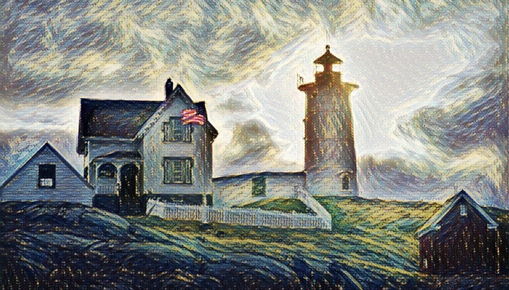
Local Flood Zones Near York Beaches
York has many different types of waterfront land. Properties near Long Sands Beach face different risks than homes along the York River. The federal maps split these areas into specific zones.
The most dangerous areas are called V zones. These are coastal zones where waves can hit the building. Properties further back might sit in an A zone, where water rises but waves are smaller.
Your building plans must match the rules of your specific zone. V zones require buildings to sit on tall pilings or stilts so waves can pass underneath safely. A zones allow for different foundations if you install proper flood vents.
How Elevation Certificates Impact Your Building Costs
Building near the coast is expensive, but ignoring flood levels makes it much worse. The numbers on your certificate dictate your long term insurance rates. Elevating a home just one foot above the minimum requirement can save thousands of dollars each year.
High insurance costs make a new home hard to sell to buyers. Developers who build higher than the minimum legal limit create more valuable properties. It is a simple way to protect the home and lower the owner’s monthly bills.
Waiting until the end of a build to check your height is a massive risk. If the foundation is too low, fixing it requires lifting the entire structure. Measuring early prevents this nightmare scenario.
Steps to Secure an Elevation Certificate
Getting your certificate requires a clear process during construction. You cannot handle it all in one single visit.
1. Check the Preliminary Maps
Look at the local flood maps before you buy the land or draw blueprints. Find the base flood elevation for that specific piece of dirt.
2. Take Initial Ground Measurements
Have a professional measure the raw ground height before digging. This step helps your architect design the correct foundation height.
3. Complete the Final Survey
Once the building is framed, the professional returns to take final measurements. They fill out the official form and submit it to the town of York.
Building Smart on the Maine Coast
Building near the water in York requires respect for the ocean. Following the local elevation rules protects your crew, your money, and the future homeowner. Get a professional tracker on your site early to ensure your next coastal project is safe, legal, and profitable.
Frequently Asked Questions
Who can fill out an elevation certificate in York, Maine?
Only a licensed land surveyor, professional engineer, or certified architect can fill out and sign the official form.
Can I use an old certificate from a previous owner?
No. If you are building a new home or making major changes, you must get a new certificate that reflects the new structure.
What happens if my building is too low?
The town can deny your certificate of occupancy. Your flood insurance rates will also be extremely high.
Do all homes in York need this certificate?
No. Only homes located inside a federally designated special flood hazard area require this document.
How long does the measurement process take?
The field measurements take a few hours on site, but preparing the official paperwork usually takes a week or two.
